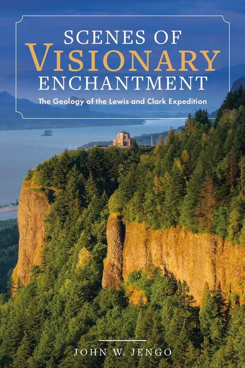
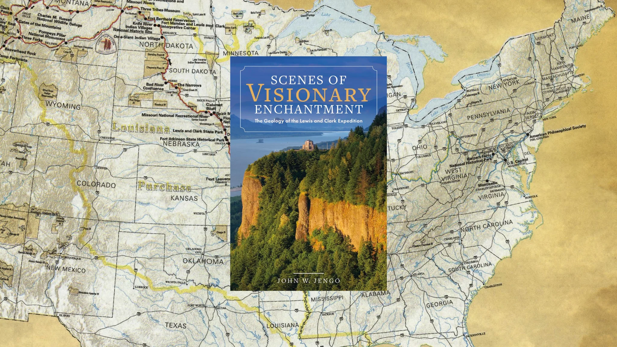
Scenes of Visionary Enchantment: The Geology of the Lewis and Clark Expedition by John W. Jengo
Try following travel directions written more than 200 years ago. The old path may have been paved over or swallowed by development. The river may have been dammed or diverted. Land may have been blasted to make way for a road. The view may be transformed beyond recognition. But a distinctive rock outcrop might still be there, a lone waypoint in both time and place.
For geologist John W. Jengo, finding such waypoints is worth considerable effort. In Scenes of Visionary Enchantment: The Geology of the Lewis and Clark Expedition, he examines the captains’ journals, compares their descriptions with the terrain and heads into the field to see what the written record can — and cannot — tell us. Sometimes, getting an answer means collecting a mineral sample and having it tested. Other times, it means crawling along a river’s edge on hands and knees searching for pumice-like rocks. This is research with muddy boots.
The book combines expedition history with geological interpretation and Jengo’s experiences retracing portions of the route. It also makes a sustained case for taking Lewis and Clark’s earth science observations more seriously than some scholars have.
What the Captains Saw, They Recorded
President Thomas Jefferson’s instructions called for close attention to the country’s mineral resources, including metals, limestone, coal and saltpeter. The expedition’s larger mission involved finding a practical route to the Pacific and gathering information about the lands, flora, fauna and peoples west of the Mississippi. Science, commerce and national ambition traveled together.
Lewis had received scientific instruction before setting out, but geology was still developing as a discipline. Its classifications and explanations were far removed from today’s. Jengo asks us to consider the captains’ observations within that context: what could they reasonably understand with the knowledge they possessed?
Lacking contemporary terms, context or tools does not necessarily make an observation useless. A sufficiently precise description or map fragment can still help identify what the expedition encountered, particularly with a trained geologist like Jengo on the case.
He explains the geology behind the expedition’s observations and supplies the much broader history of how the landscape took shape. The journey unfolds on two scales: the distances people covered trekking across a continent, and the immense spans of time recorded in the ground beneath their feet.
Following the Evidence Into the Field
Pinpointing exactly where an observation was made takes more than opening a journal to the right date, though. Jengo compares rough field notes, fuller entries in multiple journals, drawings, maps and later accounts, including the one Nicholas Biddle prepared for publication. These sources require careful comparison rather than being treated as interchangeable versions of the same record. Lewis’s journals have long gaps in parts of the journey, so some of it must be pieced together from what else remains.
The book also considers Native American pictographs and oral histories. After all, these were inhabited homelands, crossed by established routes, long before the Corps of Volunteers for North Western Discovery arrived.
Then there is the landscape itself. Dams, reservoirs and development have altered parts of the route, and private property can limit access. Over roughly three decades, Jengo investigated ten significant stretches of the expedition’s trail, traveling by car, canoe, bicycle and on foot. He returns to locations multiple times, seeks out the natural features the captains examined and collects specimens to test their identifications. Each time, he gathers new information. Jengo’s persistence turns what could have been a narrowly academic inquiry into an absorbing exercise in historical detection.
A Landscape With More Than One History
Chapters follow successive stretches of the expedition, with maps to orient the reader and photographs that show the geological features in their current context. Jengo explains technical details as they arise, making the material approachable for interested readers without a geology background. At the same time, an extensive bibliography and index make the book useful for researchers.
Jengo pursues another trail in tracing the fate of the expedition’s rock, mineral and fossil collections. He follows surviving specimens to the repositories where they can be examined and makes some new discoveries of his own: not every specimen was previously identified.
For readers drawn to American history, natural science or the pleasures of a carefully investigated puzzle, there is much to explore. For those who enjoy the outdoors, this book points to numerous places you can see for yourself. Jengo makes a familiar expedition newly interesting by showing how much its observers recorded — and how much a knowledgeable, persistent reader can still recover from their words.
About John W. Jengo
 John W. Jengo worked as a geologist, hydrogeologist, and licensed hazardous waste site remediation professional involved in cleaning up hazardous wastes for several decades before transitioning into restoring rivers and improving migratory fish passage. As a lead technical writer, he simplified explanations of complex problems and solutions for clients and regulatory agencies. He is the author of numerous peer-reviewed publications and presentations.