
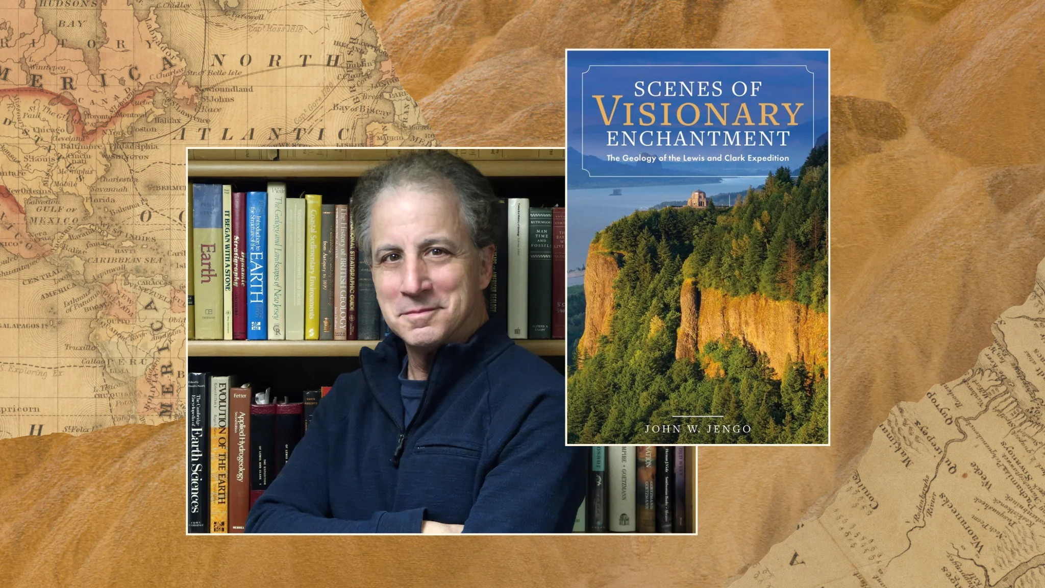
In his book, Scenes of Visionary Enchantment, author and professional geologist John W. Jengo uncovers an overlooked chapter of American history: the geological discoveries of the Lewis and Clark Expedition. While the historic journey is widely celebrated for its contributions to geography, natural history and westward exploration, its scientific observations of the land’s rocks, minerals and geological formations have received far less attention. Drawing on nearly 30 years of research, photography and firsthand exploration of the expedition’s trail, Jengo challenges longstanding historical interpretations and reveals just how remarkably perceptive Lewis and Clark were as natural observers. In this Q&A, he discusses the inspiration behind his book, the importance of revisiting history through the scientific knowledge of its time and the discoveries that continue to shape our understanding of America’s geological past.
The Lewis and Clark expedition is celebrated for its contributions to American history, geography and natural history, but its geological discoveries have received far less attention. What led you to explore this overlooked aspect of the expedition?
I felt I had something original to say about the Expedition that had not yet been fully explored. In my initial readings of the indispensable University of Nebraska edition of the Lewis and Clark journals, edited by historian, editor, and scholar Gary E. Moulton, that were published between 1983 and 2001, the geological observations recorded by Captains Meriwether Lewis and William Clark leapt off the page for me. The notations made by the captains, along with several of the enlisted men, were so vivid and recognizable: the limestone terrain of the lower Missouri River, the mineral-rich deposits of northeastern Nebraska, the extensive lignite and metamorphosed sediments of the middle Missouri in present-day North Dakota, the spectacular, multicolored rock formations in north-central Montana, observations of mighty convulsions and folded rock strata in west-central Montana, and evidence of massive basalt flows and glacial deposits along the Snake and Columbia Rivers. I thought this aspect of their efforts to comply with President Thomas Jefferson’s instructions to note the “mineral productions of every kind” along the expedition route was underappreciated.
But it was my reading of the rich syllabus of Lewis and Clark secondary literature that was the true motivation to write the book. There have been comments from historians such as “As Lewis and Clark moved on up the Missouri, they had less and less to say about minerals,” because other matters “diverted their attention from such lackluster objects as coal, limestone, and lead ore,” and “From the Great Divide to the Pacific, their journal entries contain virtually no geological descriptions. Those which do appear are worthless.” With my background in geology (I received my B.S. and M.S. in geology in 1980 and 1982, respectively, and I am a practicing professional geologist in several states), I knew this to be wholly inaccurate in many respects. For instance, after the Expedition crossed the Rocky Mountains on their route through present-day Idaho, Washington and Oregon, the geologic formations along the route radically changed to a near-universal volcanic basalt landscape extending for hundreds of miles; thus, there literally weren’t any coal, limestone, and lead ore present to observe. Hence, how can we justify criticizing Lewis and Clark for not documenting the presence of rocks that were absent? That was when I thought this subject needed to be further investigated and the historical record corrected.
In your research, you evaluate Lewis and Clark’s geological observations based on the scientific knowledge available in 1803 rather than today’s standards. What did you discover when you approached their work from that historical perspective?
Comprehending the history of science is so very essential to understanding the main thesis of my book and how I recommend that we avoid a “presentism” view of the expedition’s geological observations (the practice of judging or interpreting historical figures and events using present-day standards and knowledge). I found that natural science in the early nineteenth century was dominated by a zeal for describing natural phenomena that were considered “fixed aspects of an essentially static world,” as opposed to attempting to ascertain the processes behind the formation of the natural world, which is how we generally conduct scientific research today. Moreover, President Thomas Jefferson, the visionary architect and sponsor of this enterprise, has been excoriated by some historians for not sending a true “scientist” to accompany the expedition, but I vigorously defend the selection of Meriwether Lewis as the expedition’s chief naturalist.
Through my research, I realized that it did not require any particular training to be considered a scientist in this era; thus, it was more important to Jefferson to have a robust, courageous explorer ingrained with military discipline who could make detailed scientific observations rather than a more scientifically trained academic who was not likely to physically endure the journey. In advocating for an unbiased “historicism” view, which attempts to understand a historical figure or exploration on its own terms and within its original context, I concluded that it was the nascent state of the geological sciences when the expedition departed from the East in 1803, particularly the lack of an established mineral classification scheme, the unawareness of deep geological time, or proven theories of geological processes (e.g., it would be another 160 years before the modern theory of plate tectonics would gain acceptance by geoscientists) rather than deficiencies in the captains’ dedication or attention that precluded a comprehensive evaluation of all the different rocks and minerals that the expedition encountered or the development of hypotheses about the immense geologic forces that formed the face of the West. Once we free the Lewis and Clark expedition from the burden of “presentism,” we can judge their geological observations objectively.
President Thomas Jefferson instructed Lewis and Clark to document the region’s mineral resources. How successfully did the captains fulfill this mission, and what were some of their most significant geological observations?
By my accounting, Lewis and Clark made some distinct geological notations in 45 percent of their everyday journal entries when the expedition was on the move westward through new and unexplored country from the day they left Camp River Dubois near St. Louis on May 14, 1804, until they completed their initial exploration of the Pacific Coast on November 24, 1805. These entries include notes on rock types such as sandstones, shales, clays, limestone, chalk, granite, and flint (chert); iron concretions and deposits; mineral occurrences, especially selenite and pyrites; lignite exposures; glacial till deposits; salt or sulfur springs; paralava and pumice-like clinker; fossils; and landslides, rockfalls, and other erosional features that indicate faulting or mass earth movements. If we include the captains’ sedimentological notations in this calculation (such as documenting the sand and gravel composition of the riverbed, banks, and sand-gravel bars), the percentage of their everyday geological observations reaches 60 percent. Altogether, the combined geological and sedimentological journal entries compose a remarkably complete and continuous account of the geologic terrain along the outbound expedition route and mark key waypoints that we can follow and readily understand more than two hundred years later.
I believe the most significant geological finding from the expedition was Lewis and Clark solving the riddle of purported volcanoes in Upper Louisiana Territory, a speculative rumor that arose to explain both the Native accounts of smoking or burning ground in the Midwest and the floating pieces of charred coal and rocks thought to be volcanic pumice that were seen floating down the Missouri River all the way to St. Louis. During the winter they spent in North Dakota in 1804-05, and upon the resumption of their westward travels in April 1805, the captains noted the inter-relationship between the coal beds and layers of burnt earth along the Missouri River and ascertained that it was the natural burning of these coal deposits that slightly metamorphosed the adjacent strata into what they termed “pumicestone”, referred to today as “clinker”, the clearly recognizable pinkish rock that caps the hills throughout North Dakota. I also discuss at length in the book an absolutely inspired furnace experiment conducted by William Clark on March 21, 1805, when he proves that coal-fired heat could metamorphose ordinary rocks into what he and Lewis referred to as “lava” and “pumicestone”. Almost immediately upon the expedition’s return to the East in late 1806, this finding was published in one of the country’s earliest scientific journals, and the myth of these pseudovolcanoes was finally disproved. From this and other equally revelatory observations along the route, I believe the Lewis and Clark Expedition did fulfill Jefferson’s Enlightenment vision and his instructions to document the “mineral productions of every kind”.
You personally investigated ten significant segments of the trail using canoes, kayaks, bicycles and hiking trails. What was it like retracing their journey, and did visiting these locations change your understanding of their observations?
When traveling, and I include myself in this category sometimes, we tend to rush from place to place, especially on a 4,000-mile cross-country road trip following the Lewis and Clark Trail. But retracing the geology of the Trail, particularly segments where the expedition made as little as four and at most 14 miles a day, permitted me to settle in at one or two locations for an entire day and closely read both the captains’ journals from the day they encountered the same locale and search for either the very same rock outcrops that they examined or uncover a close equivalent. This methodology of research slowed everything down for me, and it allowed me to immerse myself in their words, find the features they described in the landscape, and, for several ephemeral moments, imagine myself back in 1804-06. I had several rare, transcendent instances where I was certain that I was standing exactly where Lewis or Clark had stood, observing what they described.
There is no substitute for relocating the rocks and terrain described in the expedition journals and field checking Lewis and Clark’s rock and mineral descriptions. It was gratifying to prove, for example, that they were extraordinarily accurate in identifying limestone and chert deposits, which they did from Missouri to Montana, but it was just as important to determine what mitigating factors were involved that resulted in the misidentification of certain rock types. There were many thrilling moments, and they occurred literally from the very beginning to the very end of my research area. To be able to track down a unique rock exposure that Meriwether Lewis noted on November 25, 1803, on the approach to Grand Tower (today’s Tower Rock) along the Mississippi River, all the way to crawling out over a dangerous precipice on Tillamook Head on the Pacific Coast to collect a white earth sample from where William Clark had taken a sample on January 7, 1806, and all the places in between. Retracing the geology along the Trail has provided a more distinct and pronounced connection to the expedition for me.
How did Lewis and Clark’s observations help shape the development of American geology?
Because the original Lewis and Clark journals were not published until 1904-05, many historians have opined that the expedition had little influence on the development of American science. However, a rephrased account of the expedition was published in the two-volume History of the Expedition under the Command of Captains Lewis and Clark (1814), edited by Nicholas Biddle, a Philadelphia Renaissance man accomplished in literature, public service, and finance. I demonstrate in my book that Biddle’s History contained every important geological observation Lewis and Clark made on the expedition, thus potentially influencing subsequent exploration of the geology of the American West for the next 50-60 years. Although there is evidence that some of the pioneering geologists and scientists of the early nineteenth century, such as William Maclure, Parker Cleaveland, Robert Bakewell, Benjamin Silliman, and Charles Lyell, referenced a few specific geological notations from Biddle’s History, they don’t appear to have fully availed themselves of the rich and varied geological observations in those two volumes.
It wasn’t until geologist Henry Darwin Rogers, the first state geologist for both New Jersey and Pennsylvania, produced a colored, continental geologic map in 1856 (along with a report) where he listed Lewis and Clark first in his list of “Maps and Memoirs Consulted in the Construction of the Map” reference section that we can see how much geological information from Biddle’s History was incorporated into the mapping of the geology of the American West. There were other scientists in this era that also consulted Biddle’s History, but it was Ferdinand Vandeveer Hayden, a trailblazing American geologist and head of the United States Geological and Geographical Survey of the Territories, who was most effusive in his praise of Lewis and Clark in a series of papers he authored in the 1860s. In referencing Biddle’s History, Hayden exclaimed, “The first reliable explorers who added anything of value to the scientific knowledge of the upper Missouri district were those enterprising travelers, Lewis and Clarke… Considering the period when this expedition was undertaken and the grand results brought out by their report, it may justly be regarded as the first [scientific] expedition ever made on this continent. The descriptive portion of their journal is excellent, indeed almost unsurpassed for beauty and accuracy…they gave so accurate descriptions of the general physical features of the bluffs, coal beds, &c., that their report has proved an excellent guide to subsequent explorers.”
After nearly thirty years of research, photography and exploration, what do you hope readers will come away understanding about Lewis and Clark’s contributions to earth science?
I hope readers will come away with a better understanding of how perceptive Meriwether Lewis and William Clark were in recognizing geologic phenomena and admire how they managed to find the time to document the geology of the Expedition route, especially in light of their other geopolitical and scientific responsibilities. They had to map the geography of the entire expedition route (including the Missouri and Columbia river systems and the multiple ranges of the Rocky Mountains), attempt to establish friendly diplomatic relationships with over 50 Native American nations, and assert American sovereignty over the Pacific Northwest and Oregon territory. In addition, they were tasked with recording their observations in zoology and botany (which included collecting and pressing hundreds of new plants they were encountering), noting meteorological information, and making astronomical observations. All this and safely transit the continent and back under harsh and often perilous conditions. Within this context, I would like readers to appreciate how much geological information was recorded over the course of the expedition’s 1804–06 trek, particularly along several key segments of the expedition route where rock and mineral descriptions were in the forefront of their observations, along with instances when the captains attempted to interpret the cause of some perceived geological displacement or upheaval, and how Lewis and Clark’s observations constituted an enlightening preview of the nation’s “mineral productions of every kind.”